The Trail a Viceroy Fell in Love With In 1905, Lord Curzon, then Viceroy of India, walked a high ridgeline in the Garhwal Himalayas and was so struck by the views that the trail has carried his name ever since. Over a century later, the Kuari Pass Trek — still fondly known as the Lord Curzon Trail Uttarakhand — remains one of the most spellbinding treks in the Indian Himalayas, and one of the rare few that rewards trekkers of almost any experience level with views usually reserved for far tougher expeditions. Walk this ridge and you’re rewarded with jaw-dropping, close-range views of some of India’s most iconic peaks — Nanda Devi, Dronagiri, Kamet, and the Trishul-Chaukhamba range unfold before you almost the entire way. It’s little wonder this trail has earned a permanent spot among the best treks of Uttarakhand — a status it has held for over a hundred years and shows no sign of losing. Whether you’re chasing green meadows in autumn or a snow-blanketed wonderland in winter, this guide covers everything you need to plan your Kuari Pass adventure — from fast facts to a full day-by-day itinerary. Quick Overview & Fast Facts Detail Information Altitude Approx. 12,516 ft (3,815 m) Difficulty Easy to Moderate Duration 4–5 days Trek Distance Approx. 33 km (round trip) Base Camp Joshimath Best Suited For Beginners, intermediate trekkers, solo travelers One of Kuari Pass’s biggest draws is its accessibility. The gradual altitude gain, well-defined trail, and relatively short duration make it an excellent entry point into high-altitude trekking — which is exactly why it consistently ranks high in any roundup of the top 10 solo treks in Uttarakhand. If you’re trekking alone for the first time, this is one of the safest, most rewarding places to start. The Magic of Seasons: Best Time to Visit Kuari Pass Kuari Pass is a genuine study in contrasts depending on when you go, and understanding this is key to figuring out the best time to visit Kuari Pass for your own trekking style. Summer & Autumn (May–June, September–October) During these months, the trail transforms into a lush corridor of oak and rhododendron forest opening onto vivid green meadows. Wildflowers dot the slopes, visibility is excellent, and the trekking conditions are comfortable — ideal for photographers and first-time trekkers who want stunning views without battling extreme cold. Winter (December–February): A Snow Trekker’s Dream Come winter, Kuari Pass transforms entirely. Snow blankets the ridgelines and meadows, turning the trail into a genuine winter snow trek, complete with crunching fresh powder underfoot and mountain peaks rendered in even sharper contrast against the snow. This seasonal shift is precisely why Kuari Pass is considered a premier choice for anyone researching a guide to winter treks in Uttarakhand — few treks offer this level of snow drama at such a manageable difficulty rating. The snow-draped meadows along the route bear a passing resemblance to the high alpine bugyals found elsewhere in the state — if you’ve enjoyed the rolling white expanses described in our Dayara Bugyal trek guide, Kuari Pass’s winter avatar will feel like a natural next adventure. Detailed Day-by-Day Itinerary Day 1: Rishikesh/Dehradun to Joshimath Your journey begins with a long but scenic drive from Rishikesh or Dehradun to Joshimath, following the Alaknanda River for much of the route. Expect roughly 9–10 hours on the road, winding through towns like Rudraprayag and Chamoli, with the river valley opening up dramatically as you gain altitude. Overnight stay and acclimatization in Joshimath. Day 2: Joshimath to Dhak Village (Drive) and Trek to Gulling Top A short drive takes you to Dhak village, the actual trailhead. From here, the trek begins in earnest — a steady climb through dense oak and rhododendron forest, with birdsong and dappled sunlight accompanying you for most of the ascent. By late afternoon, you’ll reach Gulling Top, your first campsite, where early mountain views begin to reveal themselves through the trees. Day 3: Gulling Top to Tali Top This is where the trek’s character shifts dramatically. As you climb out of the forest line, the dense canopy gives way to open ridgelines and rolling meadows. Mountain peaks that were once glimpses through branches now dominate the skyline. Tali Top offers one of the most memorable campsites on the trek, with sweeping views that make for an unforgettable evening. Day 4: Tali Top to Kuari Pass and Back to Tali Top/Khullara The big day. An early start takes you across high-altitude terrain toward the pass itself, where a full 360-degree Himalayan panorama awaits — Nanda Devi, Dronagiri, Kamet, and the Chaukhamba massif all visible in a single sweeping view. This is the payoff every trekker comes for, and it rarely disappoints. After soaking in the views, retrace your steps back to Tali Top or continue on to Khullara for the night. Day 5: Tali Top to Auli and Drive Back to Joshimath The final leg descends toward Auli, Uttarakhand’s premier ski destination. Depending on the season, you may get to experience the Auli ropeway or catch a glimpse of its famous ski slopes before descending to Joshimath for your onward journey home. How Kuari Pass Compares to Other Uttarakhand Treks Kuari Pass holds a distinctive place in Uttarakhand’s trekking landscape, but it’s worth knowing how it stacks up against other iconic trails before you decide where to invest your trekking days. For Alpine Lakes: Sahastra Tal If your priority is dramatic alpine lakes rather than ridgeline panoramas, the far more demanding Sahastra Tal trek is worth considering — though be prepared for a significantly tougher, higher-altitude challenge than Kuari Pass offers. For Valley Landscapes: Har Ki Doon and Valley of Flowers Kuari Pass’s open ridge-and-meadow terrain contrasts sharply with the deep, historic valley walk of the Har Ki Doon trek guide, as well as the monsoon-blooming meadows covered in our Valley of Flowers and Shri Hemkund Sahib trek guide. Where Kuari Pass gives you sweeping peak views from above, these two treks immerse
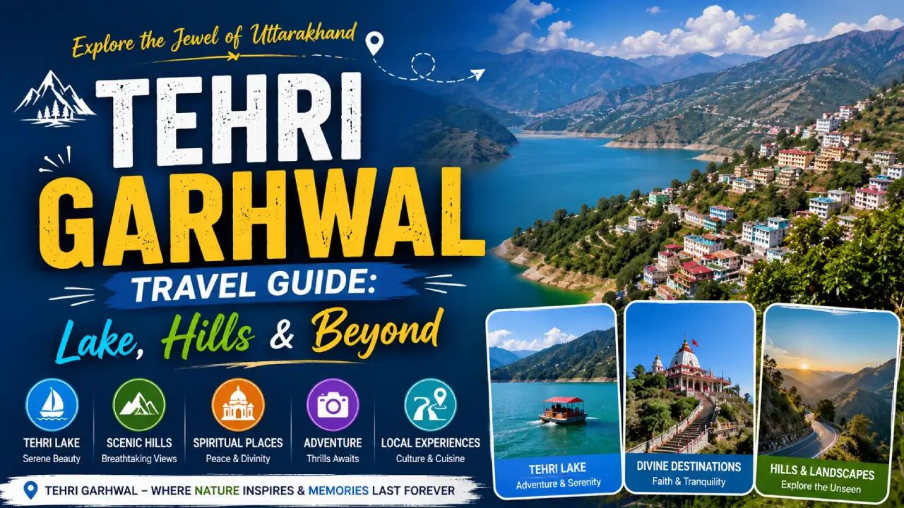
Tehri Garhwal District Travel Guide
A Land of Two Stories: Where Engineering Meets the Sacred Few districts in India carry quite as striking a contrast as Tehri Garhwal. This is a place where one of Asia’s tallest dams holds back a shimmering, mountain-ringed reservoir large enough for jet skis and speedboats — and yet, drive an hour in almost any direction and you’ll find pine-scented ridgelines, centuries-old temples, and villages where life still moves at the pace of the seasons. To understand Tehri Garhwal is to understand a story of transformation. The original town of Old Tehri, once a bustling settlement on the banks of the Bhagirathi, was submerged in the early 2000s to make way for the Tehri Dam — one of the most ambitious hydroelectric projects in the country. In its place rose New Tehri, a planned hill town built on higher ground, offering panoramic Himalayan views that its predecessor never had. It’s a rare origin story: a district literally reborn, carrying both the weight of what was lost and the promise of what was built. This Tehri Garhwal travel guide covers everything you need — from adrenaline on Tehri Lake to spiritual stillness at Devprayag — to plan a trip that captures both sides of this remarkable district. Top Attractions & Places to Visit in Tehri Garhwal Tehri Dam & Lake: The District’s Crown Jewel No conversation about places to visit in Tehri starts anywhere but here. The Tehri Dam stands over 260 meters tall, making it one of the highest dams in the world, and the reservoir it has created — Tehri Lake — stretches for kilometers between forested hills, its water an almost surreal shade of turquoise-green. What truly sets Tehri Lake apart, though, is that it has become the beating heart of adventure tourism in the region. Tehri Dam water sports here include jet skiing, speed boating, kayaking, and even paramotoring over the lake for those wanting an aerial view of the valley. Several operators near Koti Colony and Tehri town run half-day and full-day water sports packages, and this has quickly become one of the most popular weekend draws for travelers from Delhi/NCR and Dehradun. Why visit: It’s unlike anywhere else in the Himalayan foothills — a genuine watersports destination set against a mountain backdrop, equal parts thrilling and photogenic. New Tehri: A Planned Town with a View Built on a ridge overlooking the lake, New Tehri tourism has grown steadily as travelers discover this understated hill town. Unlike organically grown hill stations, New Tehri was carefully planned, which means wider roads, orderly layouts, and viewpoints deliberately positioned to catch the best of the surrounding Himalayan panorama. On a clear day, the views stretch toward snow-capped peaks in the distance, and the town itself makes for a pleasant, unhurried stopover — good for a meal, a walk, and a sense of how the district has rebuilt itself. A Note on Old Tehri Beneath the waters of the lake lies what remains of Old Tehri — a reminder of the human cost behind large infrastructure projects. Locals often share stories of the original town, and it’s worth pausing to appreciate this layered history as you take in the lake’s beauty. Kanatal & Dhanaulti: Pine Forests and Camping Under the Stars For travelers craving cooler air and quieter trails, Kanatal and neighboring Dhanaulti are among Tehri Garhwal’s most beloved offbeat hill destinations. Both sit at elevations above 2,000 meters, wrapped in dense deodar and pine forest, with eco-parks, meadows, and — on winter days — genuine snowfall. Kanatal camping has become something of a signature experience here: think canvas tents pitched among pine trees, bonfires under a sky thick with stars, and a level of quiet that’s hard to find closer to the cities. Dhanaulti’s eco-park, meanwhile, is an easy, family-friendly way to enjoy the forest with marked trails and viewpoints. Why visit: This is Tehri Garhwal at its most restorative — ideal for families, couples, and solo travelers who want nature without the intensity of a full trek. Devprayag: Where the Ganga Is Born At the confluence of the Alaknanda and Bhagirathi rivers sits Devprayag, one of the five sacred Panch Prayags of Garhwal and, spiritually, one of the most significant. It is here — and only here — that the two rivers merge and the Ganga, in name and form, officially begins her journey to the plains. The sight of the two rivers meeting, one a milky green and the other a deep blue-grey, is striking even before you factor in the spiritual weight of the place. Ancient temples line the ghats, and the town itself is refreshingly unhurried — a place for quiet reflection more than tourist bustle. Why visit: For any spiritual traveler exploring spiritual places in Garhwal, Devprayag is close to essential — a site of genuine reverence rather than manufactured tourism. Surkanda Devi Temple: A Shrine in the Clouds Perched atop a ridge at roughly 2,700 meters, Surkanda Devi Temple is one of the most revered Shakti Peeths in the region, dedicated to Goddess Sati. The temple is reached via a moderate trek of about 1.5–2 km from Kaddukhal, though a ropeway option now makes the climb accessible to a far wider range of travelers, including elderly visitors and families with young children. The reward at the top is twofold: deep spiritual significance for pilgrims, and a genuinely breathtaking 360-degree panorama of the Himalayan ranges, the Doon Valley, and the hills of Mussoorie and Tehri stretching out below. Why visit: It’s rare to find a temple that satisfies both the devout and the view-chasers equally — Surkanda Devi does both. Best Things to Do in Tehri Garhwal Chase Adventure on Tehri Lake Beyond the standard jet-ski-and-boat combo, look for operators offering sunset boat rides or overnight houseboat-style stays on the water — a genuinely unique way to experience the lake away from day-trip crowds. Camp and Trek Around Kanatal — or Go Further to Khatling Glacier While Kanatal offers gentle, accessible camping, seasoned
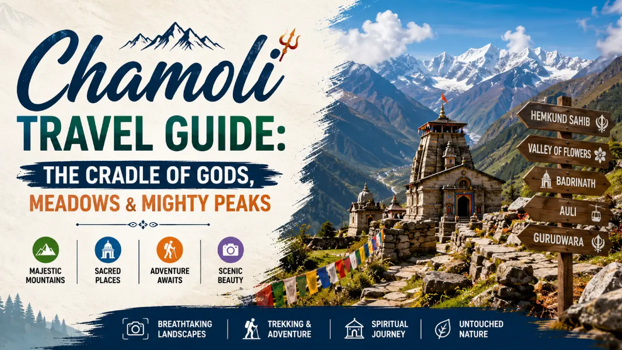
Chamoli Travel Guide: The Cradle of Gods, Meadows & Mighty Peaks
The holy land where spirituality meets raw alpine beauty. If you’ve ever dreamed of standing where the Himalayas feel closest to heaven, Chamoli is that place. Tucked into the Garhwal region of Uttarakhand, this district is where snow-capped peaks, sacred temples, and blooming alpine meadows exist in the same breath. Let’s dive into everything you need to know before you go. Chamoli at a Glance Category Details State Uttarakhand Division Garhwal Headquarters Gopeshwar Area / Population 8,030 sq km / ~391,000 Languages Spoken Garhwali, Hindi Elevation 800 m to 7,816 m (Nanda Devi) Best Time to Visit April to June & September to November Famous For Badrinath Temple, Valley of Flowers, Skiing in Auli PIN / STD Code 246424 / 01372 Introduction: About Chamoli District Chamoli isn’t just another hill district—it’s home to Nanda Devi, India’s highest peak, and the birthplace of the historic Chipko Movement, where villagers famously hugged trees to save their forests. It’s a place where mythology, ecology, and mountaineering history all collide. Every valley here seems to hold a story. Whether it’s pilgrims walking the Char Dham circuit or trekkers chasing high-altitude meadows, Chamoli rewards anyone willing to venture off the beaten path. Here’s a quick breakdown of what shapes this remarkable district: History & Importance Mentioned extensively in the Puranas as a land of sages and deities. A vital stop on the Char Dham pilgrimage circuit, drawing millions of devotees each year. Geography & Climate Chamoli borders Tibet, giving it a dramatic mix of terrains—from subtropical forests in the lower valleys to glacial landscapes near the peaks. Weather can shift fast; a sunny morning can turn into a misty, cold afternoon within hours. Culture & Economy Life here still follows a traditional Garhwali rhythm, with terraced farming and organic produce like rajma and amaranth. Tourism, especially pilgrimage and trekking, forms the backbone of the local economy. Top Tourist Places in Chamoli (The Major Draws) Valley of Flowers A UNESCO World Heritage Site, this high-altitude valley bursts into a riot of color between July and September when hundreds of alpine flower species bloom simultaneously. Surrounded by snow peaks and fed by glacial streams, it feels like stepping into a painting. For a full breakdown of routes, permits, and the best time to catch the bloom, this detailed Valley of Flowers and Hemkund Sahib trek guide is worth bookmarking before you go. Badrinath Temple One of the four sacred Char Dham shrines, Badrinath Temple sits dramatically against the backdrop of Neelkanth peak. Dedicated to Lord Vishnu, this temple draws pilgrims from across the country, especially during its brief open season. If you want to understand the temple’s deep mythological roots and ritual significance, this guide to Badrinath Temple’s sacred history covers it in depth. Hemkund Sahib Perched beside a pristine glacial lake, Hemkund Sahib is the highest Sikh shrine in the world. The trek here is as spiritually moving as the destination itself, with the turquoise lake reflecting snow-covered peaks all around. It’s often combined with a Valley of Flowers visit, and that same comprehensive trek guide walks you through logistics for both. Auli Known as India’s premier skiing destination, Auli offers sweeping views of Nanda Devi and other Himalayan giants. Beyond winter sports, its cable car ride is one of Asia’s longest, and the meadows here are stunning even outside ski season. To understand how Auli fits into the district’s wider ecology and the protected zones nearby, check out this piece on Nanda Devi National Park. Joshimath / Jyotirmath This gateway town holds deep spiritual significance as one of the four cardinal mathas established by Adi Shankaracharya. It’s also the last major stop before Badrinath and Auli, making it a natural base for travelers heading further into the mountains. Mana Village Often billed as “the last Indian village,” Mana sits right at the India-Tibet border. Mythology runs deep here—visitors can see Vyas Gufa (where sage Vyas is said to have composed the Mahabharata) and Bhim Pul, a natural rock bridge linked to the Pandavas’ journey. Legendary Trekking Destinations Trek Difficulty Duration Best Season Valley of Flowers & Hemkund Sahib Easy-Moderate 4-6 days July-September Kuari Pass Moderate 5-6 days March-April, September-December Roopkund Trek Difficult 7-8 days May-June, September-October Bagini Glacier Difficult 8-10 days May-June, September-October Quick tip: If you’re new to high-altitude trekking, start with Kuari Pass or the Valley of Flowers before attempting Roopkund or Bagini Glacier. How to Reach Chamoli By Air The nearest airport is Jolly Grant Airport in Dehradun, roughly 220 km away. From there, prepaid taxis and shared cabs run regularly toward Joshimath and beyond. By Train Rishikesh (or Yog Nagari Rishikesh) and Haridwar are the closest major railheads. Both cities have excellent connectivity to Delhi and other metro cities, and are the usual starting points for the road journey ahead. By Road Chamoli is well connected via NH-7, the Badrinath Highway. Regular shared jeeps and buses run from Rishikesh and Dehradun to Joshimath, Badrinath, and Auli, though the mountain roads can be winding, so plan for a full day of travel. Best Time to Visit & Packing Tips Summer (April-June) Pleasant days with cool nights—ideal for temple visits and moderate treks. This is peak tourist season, so expect crowds near Badrinath. Monsoon (July-September) This is when the Valley of Flowers comes alive, but landslides are common on mountain roads. Travel with flexibility and check road conditions before setting out. Winter (October-March) Most high-altitude areas shut down, but Auli transforms into a skiing paradise. Roads to Badrinath typically close by November. Insider Travel Tips: Pack sturdy, broken-in trekking shoes—this isn’t the place for new boots. Carry physical cash, since network connectivity gets patchy past Joshimath. Even in summer, pack light woolens—temperatures drop fast after sunset. Travelers heading past Mana Village need an inner-line permit, so carry ID proof and arrange this in advance. Frequently Asked Questions Q: What is Chamoli famous for? Chamoli is famous for the Badrinath Temple, the Valley of Flowers, and skiing in Auli. It’s also home
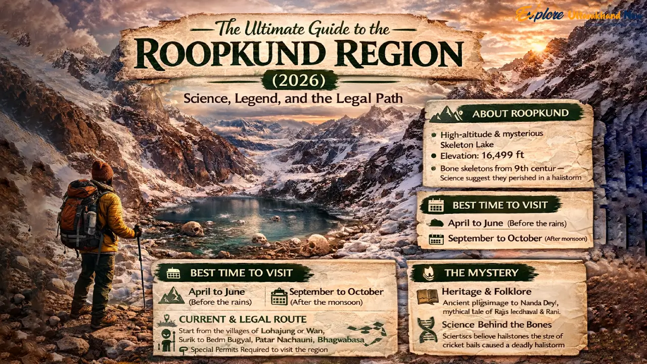
The Ultimate Guide to the Roopkund Region (2026): Science, Legend, and the Legal Path
India’s most scientifically contested and spiritually charged trek — fully updated for legal compliance in 2026 At 15,700 feet, there is a lake that should not exist. The glacial bowl of Roopkund fills and empties with the seasons, and when its waters recede in September, they reveal something that has baffled scientists, unsettled archaeologists, and confirmed every legend the Garhwali hill people ever told: hundreds of human skeletons, lying exposed on the rock and shingle as though they simply lay down to rest. But rest is not what happened here. This is the definitive 2026 guide to the Roopkund region — one that respects both the science and the legend, explains the legal reality of trekking here today, and gives you the tools to do it responsibly. We have deliberately built this to replace every outdated, legally inaccurate, and ecologically irresponsible guide that still dominates search results. Read this, and then go — the right way. — WHY THIS TREK — Why Roopkund Remains the Everest of Indian Trekking Beyond the Skeletons: High-Altitude Meadows and Glacial Mysteries The skeletons are the headline, but they are not the whole story. The Roopkund trail is, by any measure, one of the most visually spectacular high-altitude routes in India. The approach through Ali and Bedni Bugyals — vast, undulating meadows at nearly 12,000 feet — offers panoramic views of the Trishul massif (7,120 m) and Nanda Ghunti (6,309 m) that arrive with the abruptness of a revelation. One moment you are in oak and rhododendron forest; the next, the hillside simply opens, and there is the entire western Kumaon Himalaya, ranged across the northern horizon like a sentence that ends in an exclamation mark. Higher up, the terrain shifts again. The rock shelters at Bhagwabasa (14,100 ft) have an eerie, end-of-the-world quality — the stone is dark basalt and schist, the wind is constant, and the silence between gusts feels thick enough to touch. This is a place that demands your full physiological and psychological attention. The lake itself, when the snow and meltwater recede in late September and October to reveal the bones, is smaller than most people imagine — roughly 40 metres across — but carries the gravitational weight of a much larger monument. The 2026 Perspective: Why Roopkund Is No Longer ‘Beginner-Friendly’ For years, commercial trekking companies marketed Roopkund as a ‘moderate’ or even ‘beginner’ trek. That categorisation was always optimistic; in 2026 it is simply inaccurate. The logistical changes introduced by the Uttarakhand government — specifically the elimination of meadow camping and the shift to village-based accommodation — have added distance, gained elevation, and required greater self-sufficiency from trekkers. This is now a demanding, multi-day high-altitude route that requires genuine physical preparation and a minimum of two or three prior Himalayan treks at 10,000+ feet. If you are new to Himalayan trekking and are looking for a high-altitude introduction, we strongly recommend starting with the Chopta Tungnath Chandrashila Trek — it offers comparable panoramic rewards at 13,100 feet with a fraction of the logistical complexity. Come back to Roopkund when your lungs know what 14,000 feet feels like. — LEGAL REALITY — The 2026 Legal Status: Navigating the ‘Bugyal’ Ban The High Court Ruling: A Transparent Look at the Camping Ban In 2018, the Uttarakhand High Court issued a landmark ruling restricting overnight camping on the alpine meadows — bugyals — of the state, specifically citing Ali Bugyal and Bedni Bugyal in the Roopkund region. The ruling was not a ban on trekking; it was a ban on camping on the grass itself. The ecological rationale was clear: decades of commercial trekking had degraded the fragile, soil-thin turf of these meadows through tent pegs, open fires, and human waste. The bugyals are among the most ecologically sensitive grassland ecosystems in the Indian Himalaya, and they were being destroyed. Legal Status (2026): Trekking through Ali and Bedni Bugyals is fully permitted during the open season (approximately May–June and September–November). What is banned: Overnight camping on the meadow grass. Pitching tents on the bugyal turf, open fires, and unmanaged waste disposal. What is legal: Day hiking across the meadows, trekking through them en route to higher destinations, and staying in designated forest-fringe campsites at the edges of the meadows. How We Trek Today: Village Homestays and Forest-Fringe Campsites The practical result of the ban is that the modern Roopkund trek is more culturally rich and logistically honest than its pre-ban incarnation. Trekkers now base themselves in Didna village (on the approach) and Wan village (on the descent) — two Garhwali communities at the edge of the forest that have developed a genuine homestay culture over the past four years. Meals are Garhwali home cooking: thick rotis, dal with mountain herbs, seasonal sabzis, and a glass of warm milk from cattle whose grazing range extends to 10,000 feet. This is not a compromise; it is a fundamentally better experience than sleeping in a commercial tent city on the meadow. Permits & Forest Department Rules: The 2026 Digital System As of 2026, all Roopkund trekkers are required to register through the Uttarakhand Forest Department’s online portal before commencing the trek. The permit counter is physically located at Lohajung basecamp, but completing the digital registration in advance is strongly recommended to avoid queues. Key details: Entry fee: ₹150 per person per day (Indian nationals); ₹600 per person per day (foreign nationals) Group size: Maximum 20 trekkers per registered group Mandatory: Proof of identity, emergency contact details, fitness self-declaration Seasonal window: The forest gate is typically open May 1 – June 15 and September 1 – November 15, subject to weather. Check the Chamoli District Forest Division website for real-time gate status before travel. ⚠ IMPORTANT NOTE Permits cannot be purchased retroactively. Trekkers caught beyond the forest gate without a valid digital permit face fines of ₹2,500–₹10,000 and potential trail bans. Register before you arrive at Lohajung. — THE SCIENCE — Solving the Mystery: The 2019 Science Update vs. Local Lore The DNA Breakthrough:
Dehradun City Guide 2026 Everything to Do, See, and Eat in the City of Joy
Introduction: Welcome to the City of Joy There is a saying among long-time Dehradun residents that the Doon Valley doesn’t just accommodate you — it adopts you. This is a city that has been welcoming people for centuries: pilgrims heading to the hills, scholars drawn to its legendary schools, soldiers on their way to the cantonments, and increasingly, travellers from across India and beyond who arrive for a weekend and find themselves returning again and again. Set in the Doon Valley — a broad, fertile basin formed between the Shivalik Hills to the south and the outer Himalayas to the north — Dehradun occupies one of the most geographically privileged positions in northern India. At approximately 640 metres above sea level, it is warm enough to be pleasant year-round, cool enough in summer to feel like a reprieve from the plains, and close enough to both mountains and rivers to give nature-lovers endless options. Dehradun is known as the “City of Joy” — a nickname that has less to do with marketing and more to do with accumulated character. This is a city built by the convergence of extraordinary institutions (the Indian Military Academy, the Forest Research Institute, the Doon School), ancient spiritual traditions (Guru Ram Rai’s Darbar, Tapkeshwar Temple), and a modern energy fuelled by Uttarakhand’s status as a state capital since 2000. The result is an urban personality unlike anything else in the Himalayan belt: simultaneously academic, military, spiritual, and deeply, authentically liveable. As the state capital of Uttarakhand and the natural gateway to the entire Himalayan region, Dehradun is where most Uttarakhand journeys begin. It is the place you land before the mountains, the city you return to from the high altitudes, and — for those paying attention — a rewarding destination in its own right. History & Mythology: Layers of an Ancient Valley The Dronacharya Connection — Dronanagri Long before it was a cantonment town or a state capital, the Doon Valley was Dronanagri — the legendary home of Dronacharya, the revered preceptor of the Pandavas and Kauravas in the Mahabharata. It is said that Guru Dronacharya chose this valley, between the sacred rivers Ganga and Yamuna, as the site of his gurukul — the forest school where he trained India’s greatest warriors in archery, statecraft, and philosophy. Whether legend or history, this connection gives Dehradun a mythological depth that few Indian cities can claim. The valley’s tradition of guru-shishya education — master and student, knowledge passed in forest settings — echoes through its modern identity as India’s most celebrated centre of residential schooling. The ancient gurukul and the Doon School are, in their own ways, the same idea separated by three thousand years. Guru Ram Rai and the Origin of ‘Dehra-Dun’ The city’s modern name is rooted in Sikh history. In 1675, Guru Ram Rai — the eldest son of Guru Har Rai, the seventh Sikh Guru — arrived in the valley after a complex political episode at the Mughal court. Guru Har Rai, disapproving of his son’s accommodation of Emperor Aurangzeb, designated his younger son as his successor instead. Guru Ram Rai came to settle in the Doon Valley, establishing a “Dehra” (camp or resting place) that grew into a permanent community. The Darbar Shri Guru Ram Rai Ji — the magnificent Sikh shrine in the heart of Dehradun — remains one of the city’s most important religious sites, and the annual Jhanda Mela (Flag Festival) celebrated here in March is the city’s biggest and most beloved festival. The very name of the city — “Dehra-Dun” — is believed to derive from this settlement: Dehra (camp) + Dun (valley). Dehradun as an Education Hub: Why the City Feels Young Walk through Dehradun on any weekday morning and you will quickly understand why the city has a particular kind of energy that older hill towns do not. This is a young city — not in age, but in spirit — because it has been continuously shaped by institutions that attract and cultivate talent from across India and the world. The Indian Military Academy (IMA) Founded in 1932, the Indian Military Academy is one of India’s most prestigious and consequential institutions — the training ground for generations of Indian Army officers. The IMA’s Chetwode Hall and the passing-out parades that mark each graduating batch are part of Dehradun’s civic identity. The immaculately maintained cantonment area that the IMA anchors gives central Dehradun much of its orderly, wide-avenues character. The Forest Research Institute (FRI) An absolute must-visit for any Dehradun traveller, the Forest Research Institute is one of the finest examples of colonial architecture in India — a vast Greco-Roman complex set in 450 hectares of maintained forest and gardens. Built between 1906 and 1929, the FRI’s main building with its distinctive colonnade, red brick, and manicured lawns looks like it belongs in a British university town and has become one of India’s most photographed institutional buildings. The FRI houses multiple museums covering forestry, soil, fauna, social forestry, and pathology — genuinely interesting even for non-specialists — and the grounds are beautiful for a long morning walk. Entry is free for Indian nationals. Timings: Museums open 9:30 AM – 5:00 PM; closed Sundays and government holidays Tip: Visit on weekday mornings for the best light on the building’s facade and the quietest grounds The Doon School & Welham’s The Doon School, established in 1935, is India’s most storied boarding school — an institution that has produced prime ministers (Rajiv Gandhi), Nobel laureates, business leaders, and public figures out of all proportion to its size. Its red-brick buildings and cricket grounds have become a kind of shorthand for a certain strain of Indian academic aspiration. Welham Girls’ School, its equally prestigious sister institution nearby, completes the picture. These schools are not open to casual visitors, but they shape the city’s character visibly: the café culture, the bookshops, the general intellectual texture of central Dehradun all reflect a city built around the idea that education matters. Top
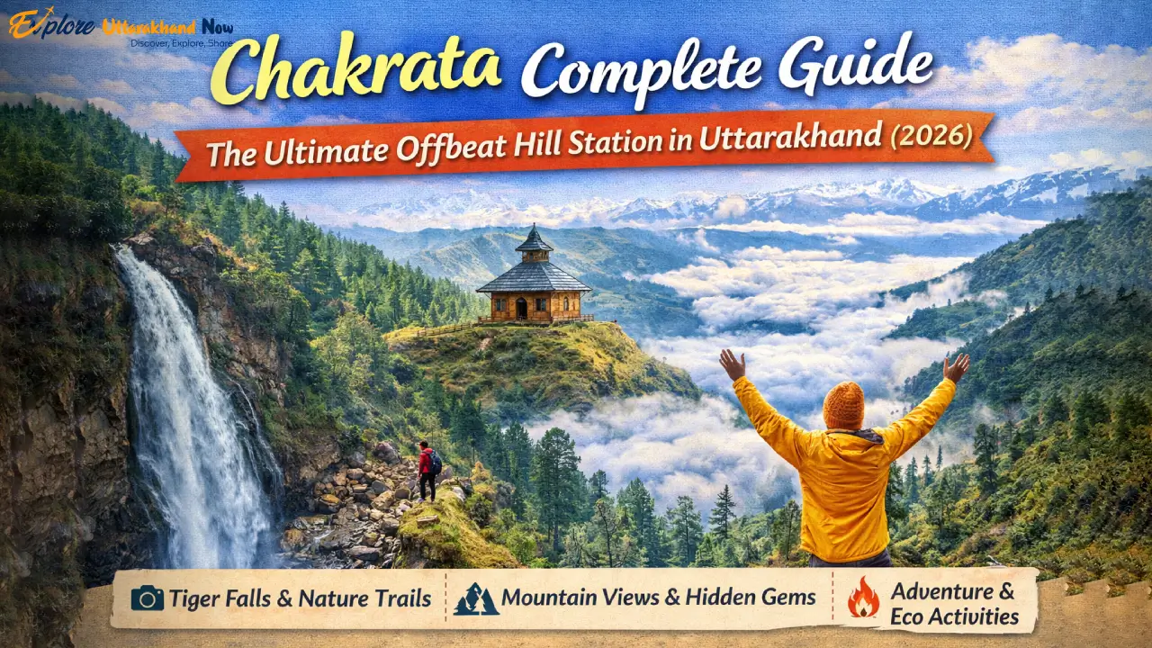
Chakrata Complete Guide The Ultimate Offbeat Hill Station in Uttarakhand (2026)
Chakrata: India’s Best-Kept Mountain Secret There is a particular thrill that comes from discovering a place that feels like it exists outside the tourist machine — where the pine forest is genuinely quiet, the air is genuinely cold, and you can sit on a ridge at dusk watching the Himalayas turn orange without fighting a crowd for your view. Chakrata is that place. A secluded cantonment town tucked in the Jaunsar-Bawar region of Uttarakhand’s Dehradun district, Chakrata sits at an altitude of 2,118 metres (6,949 ft) on a ridge between the Tons and Yamuna rivers. It is one of the few hill towns in northern India where development has moved slowly enough that the natural landscape still dominates — dense forests of oak, rhododendron, and deodar cedar covering the hillsides, undisturbed waterfalls plunging through pristine gorges, and ancient temples where the priests outnumber the tourists. While the name Chakrata is unfamiliar to many travellers, those in the know have quietly prized it for years. It regularly features among the top offbeat hill stations in India precisely because of what it lacks: the honking taxis, the souvenir clutter, the cable cars to overcrowded viewpoints. What it has instead is something far rarer — genuine, unhurried wilderness within a day’s drive of Delhi. There is one logistical reality to understand before planning your trip: Chakrata is an active military cantonment administered by the Indian Army. This shapes the town’s character in largely positive ways — it is extraordinarily safe, well-maintained, and orderly — but it does mean that non-Indian citizens require a special permit to enter. We cover this in detail later in this guide. This Chakrata travel guide covers everything — from the top 10 places to visit and things to do, to weather, logistics, food, and a full FAQ section. Whether you’re planning a weekend escape from Dehradun or a longer mountain immersion, Chakrata is ready to surprise you. Top 10 Places to Visit in Chakrata Here are the ten experiences that define a complete Chakrata journey — from thundering waterfalls to prehistoric caves to panoramic Himalayan viewpoints. Tiger Falls — The Jewel of the Jungle At 312 feet (approximately 95 metres), Tiger Falls is one of the highest and most spectacular waterfalls in Uttarakhand — and almost certainly the most dramatic single natural feature in the Chakrata region. The waterfall plunges in an unbroken curtain of white water through a narrow, forested gorge, landing in a cold emerald pool surrounded by mossy rocks and cedar trees that block out the sky. The access route is itself part of the experience: a 5-kilometre forest trek from the road end that passes through one of the most beautiful stretches of mixed forest in this part of Uttarakhand. The path is well-marked and manageable for most fitness levels, making Tiger Falls one of Chakrata’s most rewarding outings. For a complete breakdown of the trek route, best visiting conditions, entry details, and what to bring, read our dedicated Tiger Falls essential guide. Distance from Chakrata: ~20–25 km by road + 5 km forest trek Best season: March to June for full flow; avoid monsoon season (July–September) for safety Tip: Start the trek by 8 AM on weekdays to have the falls almost entirely to yourself Budher Caves — Into the Prehistoric Dark One of Chakrata’s most intriguing and physically demanding attractions, the Budher Caves (also written as Budhir or Badhani) are a network of limestone caverns hidden inside the dense Budher Forest, roughly 30 km from Chakrata town. These are not tourist caves fitted with handrails and coloured lights — they are raw, ancient, naturally formed chambers that require crawling, squeezing, and navigating with torches. The caves are believed to be geologically significant and are associated in local legend with the Pandavas of the Mahabharata, who are said to have sheltered here during their years of exile. The surrounding forest — ancient, dense, and almost entirely undisturbed — makes the journey to the caves as memorable as the caves themselves. This is genuine offbeat adventure territory: bring a guide, a headlamp, and a spirit of exploration. Distance: ~30 km from Chakrata; accessible by road followed by a forest walk Essential: Hire a local guide — the cave network is disorienting without one Best for: Adventure travellers, history enthusiasts, fit hikers Chilmiri Neck — Sunrise From the Roof The highest accessible point in the Chakrata area at 2,470 metres, Chilmiri Neck is the classic viewpoint that most visitors prioritise — and for good reason. On a clear morning, the panoramic view from the summit encompasses an extraordinary sweep of the Garhwal Himalayas, including Bandarpunch, Swargarohini, and on exceptionally clear days in winter, the distant white crown of Kedarnath. The viewpoint is just 2 km from Chakrata town — a short hike through the cantonment’s cedar forest that can be done in under an hour. The path is easy, well-defined, and especially magical in winter when the cedar branches carry fresh snow. Chilmiri Neck is the obvious choice for sunrise, when mist fills the valleys below and the peaks catch the first light. Distance from town: ~2 km; 45–60 minute easy hike Best time: 1 hour before sunrise; carry a warm layer regardless of season Deoban — Forests, Birds & Himalayan Horizons Deoban — literally “forest of deodars” — is a high-altitude forest area about 13 km from Chakrata, at an elevation of around 2,200–2,500 metres. It is arguably the most beautiful forest landscape in the entire Chakrata region: vast stands of ancient deodar cedars with their silver-grey trunks and drooping branches creating a cathedral-like atmosphere, broken by open meadows with views across to the snow peaks. Deoban is one of Uttarakhand’s premier birdwatching destinations. The dense mixed forest supports extraordinary avian diversity — Himalayan monal (the state bird), koklass pheasant, cheer pheasant, various laughingthrushes, nuthatches, treecreepers, and a rotating cast of migratory species during spring and autumn. Birders with a checklist and binoculars could spend an entire day here without
Haridwar Complete Travel Guide Ghats, Temples & Ganga Aarti Timings for 2026
🕉️ Gateway to the Gods: Why Haridwar Calls to Every Soul There are places on Earth where the sacred and the everyday exist side by side in perfect, unrehearsed harmony. Haridwar is one of those rare places. Nestled at the foot of the Shivalik Hills in Uttarakhand, where the mighty Ganga descends from the Himalayas onto the plains, Haridwar has been welcoming pilgrims, seekers, and wanderers for over five thousand years. Its very name is layered with meaning — “Hari” (Lord Vishnu) + “Dwar” (Gateway) — making it quite literally the Gateway to the Gods. As one of the seven holiest cities in Hinduism and the entry point to the Char Dham Yatra — the pilgrimage circuit to Kedarnath, Badrinath, Gangotri, and Yamunotri — Haridwar occupies a position of extraordinary spiritual importance. Here, the air smells of marigolds and incense, the sound of bells mingles with the rush of the river, and as the sun sets each evening, thousands gather on the ghats to witness one of India’s most mesmerizing rituals: the Ganga Aarti. In 2026, Haridwar’s spiritual magnetism is stronger than ever. With the upcoming pilgrimage season drawing millions from across the country and the globe, now is the perfect time to plan your visit. Whether you’re a devout pilgrim seeking moksha (liberation), a curious traveller drawn by the river’s majesty, or someone looking for a few days of peaceful disconnection, this Haridwar travel guide has everything you need — including the Ganga Aarti timings, must-visit temples, hidden gems, and a ready-to-use one-day itinerary. 🛕 Haridwar Tourist Places: The Must-Visits Let’s be your local guide through the landmarks that define every great Haridwar journey. 1. Har Ki Pauri — The Heartbeat of Haridwar If Haridwar has a soul, it lives at Har Ki Pauri, which translates to “the steps of Lord Vishnu.” This iconic ghat on the banks of the Ganga is the most sacred spot in the city — in fact, according to Hindu belief, it is here that Lord Vishnu left his footprint, still preserved today in a stone within the water. The sacred pool within the ghat is known as Brahma Kund — named for Lord Brahma, the creator. Legend holds that a single dip in Brahma Kund washes away the sins of an entire lifetime. During the Kumbh Mela (held every 12 years), millions plunge into this very spot during the auspicious Shahi Snan bathing ritual. On ordinary days, it remains a serene, transformative place for a ritual bath at dawn. Best time to visit: Dawn (5:30–7:00 AM) or at dusk for the Aarti Don’t miss: Watching diyas (oil lamps) set afloat on the river after Aarti — a sight that stays with you forever Practical note: Remove your footwear before entering the ghat area; photography restrictions apply during certain rituals 💡 Pro Tip: Keep your valuables close — the ghats get very crowded, especially during evenings and festival seasons. 2. Mansa Devi Temple — The Wish-Fulfilling Goddess Perched atop Bilwa Parvat (also called Neel Parvat) on the eastern bank of the Ganga, Mansa Devi Temple is one of the Panch Tirth (five holy spots) of Haridwar. Dedicated to Goddess Mansa Devi — the deity believed to fulfil all heartfelt wishes — this temple draws lakhs of devotees every year who come to tie sacred threads on the ‘wish tree’ and pray for blessings. Getting there via Udan Khatola (Ropeway): The most popular and scenic way to reach the temple is via the Udan Khatola ropeway, which offers breathtaking aerial views of the city, the Ganga winding through the landscape, and the Shivalik Hills stretching into the distance. The ride takes approximately 3–4 minutes each way. Ropeway timings: 7:00 AM to 6:00 PM (subject to seasonal changes) Ticket price: Approx. ₹100–₹120 (round trip); confirm current rates at the counter Trekking option: A foot trail (approx. 2 km) winds up the hill if you prefer a more contemplative climb Tip: Combine with Chandi Devi Temple — a combined ropeway ticket is available for both 3. Chandi Devi Temple — The Fierce Protector Situated on the Neel Parvat hill on the western bank of the Ganga, Chandi Devi Temple is dedicated to Goddess Chandi — a fierce, warrior form of Parvati. The main idol is believed to have been installed by the revered saint Adi Shankaracharya in the 8th century CE, though the current temple structure was built by the Raja of Kashmir in 1929. One of the eight Siddh Peethas (sacred power centres) in the Uttarakhand region, Chandi Devi Temple rewards devoted pilgrims with a sense of sublime peace at the summit, especially at sunrise when the mist still clings to the valley below. Ropeway: A separate ropeway services this temple; can be combined with the Mansa Devi ropeway for efficiency Temple timings: 6:00 AM to 8:00 PM Best season: March to June for clear mountain views from the hilltop 4. Maya Devi Temple — Ancient Power of the Siddha Peeth One of the oldest temples in Haridwar and one of the sacred Siddha Peeths, Maya Devi Temple is believed to be the spot where the heart and navel of Goddess Sati fell when Lord Vishnu severed her body to pacify the grief-stricken Lord Shiva. This makes it one of the 51 Shakti Peethas spread across the Indian subcontinent — a site of immense tantric and spiritual power. The temple is dedicated to Goddess Maya, a powerful form of Shakti, and is considered the presiding deity of Haridwar. Three-headed and four-armed idols of Goddesses Maya, Kali, and Kamakhya are enshrined here, making it a uniquely potent place for devotional offerings. Timings: 5:00 AM to 12:00 PM; 3:00 PM to 8:00 PM Location: City centre, walkable from Har Ki Pauri Note: Non-Hindus are welcome but are expected to maintain respectful conduct inside the temple 5. Daksheshwar Mahadev Temple — Shiva in Kankhal About 4 km from Har Ki Pauri, in the quieter suburb of Kankhal, lies one of Haridwar’s most historically significant temples: Daksheshwar Mahadev Temple.
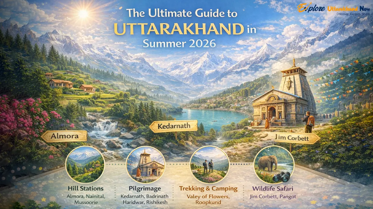
The Ultimate Guide to Uttarakhand in Summer 2026
Introduction: Why Uttarakhand is India’s Summer Escape When the Indian plains turn into a furnace and the mercury inches past 45°C, there’s one place the wise traveller turns to — the majestic Himalayas of Uttarakhand. Nestled in the northern crown of India, this state is a living, breathing postcard of snow-kissed peaks, gushing rivers, ancient temples, and meadows so green they seem painted. Whether you’re a family chasing cool breezes, a couple seeking a romantic hideaway, or a solo explorer hungry for adventure, Uttarakhand in summer has something extraordinary waiting for you. May and June are the peak summer months for a reason. The temperatures in the hills range between a delightful 10°C to 25°C — a world away from the scorching plains. Roads that were buried under winter snow have reopened, wildflowers are in full bloom, and the pilgrimage routes of the Char Dham buzz with spiritual energy. For a quick overview before diving deep, check out our curated list of the Top 5 Best Summer Destinations in Uttarakhand — a great starting point to map your itinerary. This guide goes further, covering every type of traveller in detail. Which Part of Uttarakhand is Most Beautiful? Uttarakhand is broadly divided into two stunning regions — Kumaon in the east and Garhwal in the west. The debate over which part of Uttarakhand is most beautiful is one that travellers have been having for decades, and honestly, both sides make a compelling case. Kumaon: The Lush, Laid-Back Himalayan Retreat Kumaon is the gentler, more contemplative side of Uttarakhand. Think pristine lakes shimmering under the Himalayan sun, oak and rhododendron forests that glow red in spring, and charming hilltop towns that move at a pleasantly unhurried pace. Nainital, Mukteshwar, Kausani, Munsiyari, and Binsar are its crown jewels — perfect for families, couples, and those seeking solitude. Garhwal: Rugged, Spiritual, and Awe-Inspiring Garhwal is where the Himalayas feel raw and untamed. This is the land of the Char Dham — Kedarnath, Badrinath, Gangotri, and Yamunotri. It’s where the Ganges roars through Rishikesh and Haridwar, where Auli’s meadows touch the sky at 2,519 metres, and where tiny hamlets cling to impossibly steep hillsides. Garhwal is for the adventurer, the spiritual seeker, and anyone who wants to feel genuinely small in front of something magnificent. 🏆 Verdict: Kumaon wins on serenity and scenery; Garhwal wins on grandeur and spirit. Visit both — your heart will thank you. Where is Mini Switzerland in Uttarakhand? If someone has told you about a place in Uttarakhand that looks like it was lifted straight from the Swiss Alps, they were talking about Chopta — nestled in the Rudraprayag district of the Garhwal Himalayas at an altitude of around 2,680 metres. Often called the “Mini Switzerland of Uttarakhand,” Chopta earns this flattering nickname with its sweeping alpine meadows (locally called bugyals), dense conifer forests, and panoramic views of the Chaukhamba, Kedar, and Trishul peaks. Why Chopta is a Summer Must-Visit The Tungnath Trek (3 km from Chopta) leads to the world’s highest Shiva temple at 3,680 metres — a soul-stirring hike through meadows carpeted with wildflowers in May and June. From the Chandrashila peak just above Tungnath, you get a 360° view of Nanda Devi, Trishul, Kedarnath, and Chaukhamba on clear days. Camping under a sky full of stars in the bugyals is an experience you’ll narrate for years. Chopta is also a crucial base for the Deoria Tal trek — a mirror-like lake that perfectly reflects the Chaukhamba massif. Wildlife lovers may spot Himalayan monal (the state bird), musk deer, and various raptors in the surrounding Kedarnath Wildlife Sanctuary. 💡 Pro Tip: Chopta has very limited accommodation. Book your stay at least 3–4 weeks in advance for May and June travel. Carry a warm jacket — nights can drop to 5°C even in summer. Best Places to Visit in Uttarakhand with Family Family holidays in the hills require a careful balance — you need comfort and accessibility for the little ones and elders, but enough excitement to keep everyone engaged. Uttarakhand delivers beautifully on both counts. Here are the top places to visit in Uttarakhand in May and June with family. Nainital — The Jewel of Kumaon No list of family-friendly destinations in Uttarakhand is complete without Nainital. The emerald Naini Lake, the famous Mall Road, cable car rides to Snow View Point, and the Nainital Zoo (home to snow leopards and Himalayan black bears) keep families thoroughly entertained for 3–4 days. 💡 Pro Tip: Visit Nainital on weekdays to avoid weekend crowds. Book hotels on the quieter Mallital side for better lake views and parking. Mussoorie — The Queen of the Hills Just 35 km from Dehradun, Mussoorie is the quintessential hill station for families visiting in May. The Kempty Falls, Lal Tibba viewpoint, Gun Hill cable car, and Cloud’s End forest walks provide endless options. The temperature stays around 15–23°C in summer — ideal for sightseeing without layers. 💡 Pro Tip: Skip the Mall Road on weekends if you dislike crowds. Instead, head to Landour — Mussoorie’s quieter, charming twin village loved by writers and artists. Top Places to Visit in Uttarakhand in May: Rishikesh & Jim Corbett May is perfect for Rishikesh — the Ganges is still manageable for white-water rafting (Grade 3–4 rapids from Shivpuri to Laxman Jhula), bungee jumping, and cliff jumping. The town’s spiritual energy and vibrant café culture also make it a wonderful family base. Jim Corbett National Park is ideal in May before the monsoon closes core zones. Jeep safaris offer excellent chances of spotting tigers, elephants, and gharials. The Bijrani and Jhirna zones remain open through summer. Best Places in Uttarakhand in June with Family: Auli & Tehri June is when some of Uttarakhand’s highest destinations truly come alive, making it ideal for adventurous families. Auli (2,519 m): Famous for skiing in winter, Auli transforms in June into a lush meadow paradise with direct views of Nanda Devi — India’s second-highest peak. The Auli Ropeway (14 km, one of
Char Dham Yatra 2026: Complete Travel Guide with Opening Dates, Registration & Route Map
The char dham yatra is one of the most sacred pilgrimages in India. Every year, lakhs of devotees visit the holy temples of Yamunotri, Gangotri, Kedarnath, and Badrinath in Uttarakhand. If you are planning the Char Dham Yatra 2026, this complete travel guide will help you with opening dates, registration process, route map, itinerary, package cost, and important travel tips. Whether you are a first-time pilgrim or a returning devotee, this guide will make your char dham yatra smooth and well-planned. Char Dham Yatra 2026 Latest Updates The Char Dham Yatra 2026 will officially begin in April 2026. The opening dates have been announced, and preparations by the Uttarakhand government are already underway. Important highlights: Online char dham registration will be mandatory. The biometric registration system will continue. Improved road connectivity under the Char Dham Mahamarg project. Helicopter services available for Kedarnath and full dham circuit. Medical camps and safety monitoring along routes. Pilgrims are advised to complete their char dham yatra registration early to avoid last-minute issues. Char Dham Yatra Opening & Closing Dates 2026 Here are the confirmed char dham opening dates 2026: Temple Opening Date 2026 Closing Date (Tentative) Badrinath 23 April 2026 (06:15 AM) 13 November 2026 Kedarnath 22 April 2026 (08:00 AM) 11 November 2026 Gangotri 19 April 2026 10 November 2026 Yamunotri 19 April 2026 11 November 2026 Kedarnath Opening & Closing Date 2026 The kedarnath opening date 2026 is 22 April 2026 at 8:00 AM. Closing Date: 11 November 2026 (Tentative) Altitude: 3,583 meters Trek Distance: 16–18 km from Gaurikund Kedarnath is dedicated to Lord Shiva and is the most challenging part of the char dham yatra due to high altitude. Badrinath Opening & Closing Date 2026 The Badrinath opening date 2026 is 23 April 2026 at 6:15 AM. Closing Date: 13 November 2026 Altitude: 3,133 meters Badrinath Temple is dedicated to Lord Vishnu and is the final destination of the char dham yatra. Gangotri Opening & Closing Date 2026 Opening Date: 19 April 2026 Closing Date: 10 November 2026 Altitude: 3,100 meters Gangotri Temple is the origin place of River Ganga. Yamunotri Opening & Closing Date 2026 Opening Date: 19 April 2026 Closing Date: 11 November 2026 Altitude: 3,293 meters Yamunotri is the starting point of the char dham yatra and source of River Yamuna. Char Dham Yatra 2026 Overview (Distance, Duration & Altitude) Total Distance: Approx. 1,600 km (round trip from Haridwar) Duration: 10–12 days Highest Altitude: Kedarnath (3,583 m) Best Starting Point: Haridwar or Rishikesh The char dham yatra follows this sequence: Yamunotri → Gangotri → Kedarnath → Badrinath Why is Char Dham Yatra Spiritually Important? The char dham yatra holds immense spiritual value in Hinduism. Yamunotri – Goddess Yamuna Gangotri – Goddess Ganga Kedarnath – Lord Shiva (12 Jyotirlingas) Badrinath – Lord Vishnu Completing the char dham yatra is believed to wash away sins and help attain moksha (liberation). Char Dham Yatra Registration 2026 The char dham registration is compulsory for all pilgrims. Step-by-Step Online Registration Guide Visit the official Uttarakhand tourism website. Create an account. Fill personal details. Upload required documents. Select travel dates and temples. Download registration slip. Offline Registration Process Offline counters are available at: Haridwar Rishikesh Sonprayag Joshimath Documents Required Aadhaar Card / Valid ID Proof Passport size photo Mobile number Medical fitness certificate (recommended for senior citizens) Without char dham yatra registration, entry may be restricted. Route from Haridwar Haridwar → Barkot → Yamunotri → Uttarkashi → Gangotri → Guptkashi → Kedarnath → Joshimath → Badrinath Route from Rishikesh Rishikesh → Barkot → Yamunotri → Uttarkashi → Gangotri → Kedarnath → Badrinath Route from Delhi Delhi → Haridwar → Continue standard char dham route Day-Wise Char Dham Yatra Itinerary (10–12 Days Plan) Day 1: Haridwar to Barkot Day 2: Yamunotri Darshan Day 3: Barkot to Uttarkashi Day 4: Gangotri Darshan Day 5: Uttarkashi to Guptkashi Day 6: Kedarnath Trek Day 7: Kedarnath Darshan & Return Day 8: Guptkashi to Badrinath Day 9: Badrinath Darshan Day 10: Return to Haridwar This is the standard plan for Char Dham Yatra 2026. Best Time to Visit Char Dham Yatra in 2026 May–June (Peak Season) Pleasant weather Heavy crowd Advance booking required July–August (Monsoon Advisory) Landslide risk Travel delays possible Not ideal for elderly pilgrims September–October (Best Season) Clear skies Less crowd Best time for char dham yatra Char Dham Yatra Package Cost 2026 Budget Package ₹25,000–₹35,000 per person Basic hotels Shared transport Deluxe Package ₹40,000–₹65,000 per person 3-star hotels Better transport Helicopter Package ₹1.8–2.5 lakh per person VIP darshan 4–5 days completion Char dham package cost may vary depending on season. Char Dham Yatra by Helicopter 2026 Char dham helicopter booking is ideal for senior citizens. Duration: 4–5 days Departure: Dehradun (Sahastradhara Helipad) Includes VIP darshan & accommodation Advance booking is recommended for Char Dham Yatra 2026. Accommodation Options GMVN Guest Houses Dharamshalas Budget hotels Deluxe hotels in Guptkashi & Joshimath Book early during peak char dham yatra season. Temple Timings & Aarti Schedule General temple timings: Morning: 4:00 AM – 1:00 PM Evening: 4:00 PM – 9:00 PM Special aarti tickets are available at Badrinath and Kedarnath. Weather Conditions (Month-Wise Guide) April: Cold mornings May–June: Pleasant (10°C–20°C) July–August: Heavy rainfall September–October: Cool and clear November: Very cold Always check the forecast before starting char dham yatra. Health & Fitness Guidelines Start walking practice 1 month before. Carry personal medicines. Avoid alcohol. Stay hydrated. Senior citizens should consult a doctor. Kedarnath trek requires good stamina. Packing Checklist Warm clothes Raincoat Comfortable trekking shoes ID proof Power bank First-aid kit Dry snacks Packing smartly makes your char dham yatra comfortable. Travel Tips to Avoid Crowd Visit in September. Start darshan early in the morning. Book accommodation in advance. Avoid weekends in peak season. Safety Guidelines & Government Advisory Follow official instructions. Register before travel. Avoid risky trekking during rain. Use authorized helicopter services only. Distance Chart Between Temples Yamunotri to Gangotri: 227 km Gangotri to Kedarnath: 270 km Kedarnath to Badrinath: 220 km Haridwar to Badrinath: 320